
GIS - GEOGRAPHIC INFORMATIONS SYSTEMS
GIS Services at Purdue
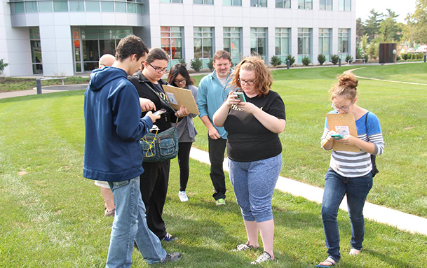
Geospatial information has been adopted in various areas of research at Purdue. The libraries works with different Purdue researchers to curate, visualize, and disseminate the information they have generated in their projects.
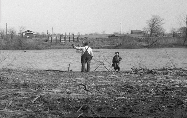
Wabash River Historical Map
Collection of orthophotos of the Wabash River, from Logansport to Terre Haute.
BTAA Geospatial Portal
This geoportal connects users to digital geospatial resources.

Soil Explorer
An interactive tool to explore soil properties and landscapes.

Purdue Historical Campus
Purdue Campus over the years.
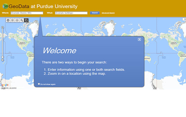
Geodata Portal
Geospatial information users to search for information.

Digital Humanities course support
A story map - Art History Methods.
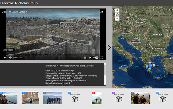
Study Abroad Course Support
A story map - Spring Break Trip to Ancient Greece.
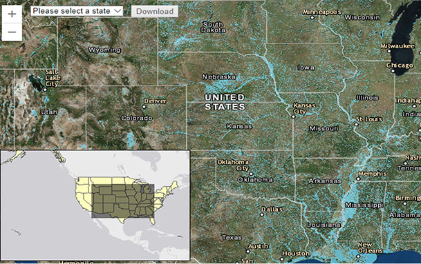
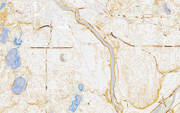
gSSURGO-based Floodplain Maps of the United States
Shapefiles showing the natural floodplain for the United States.